


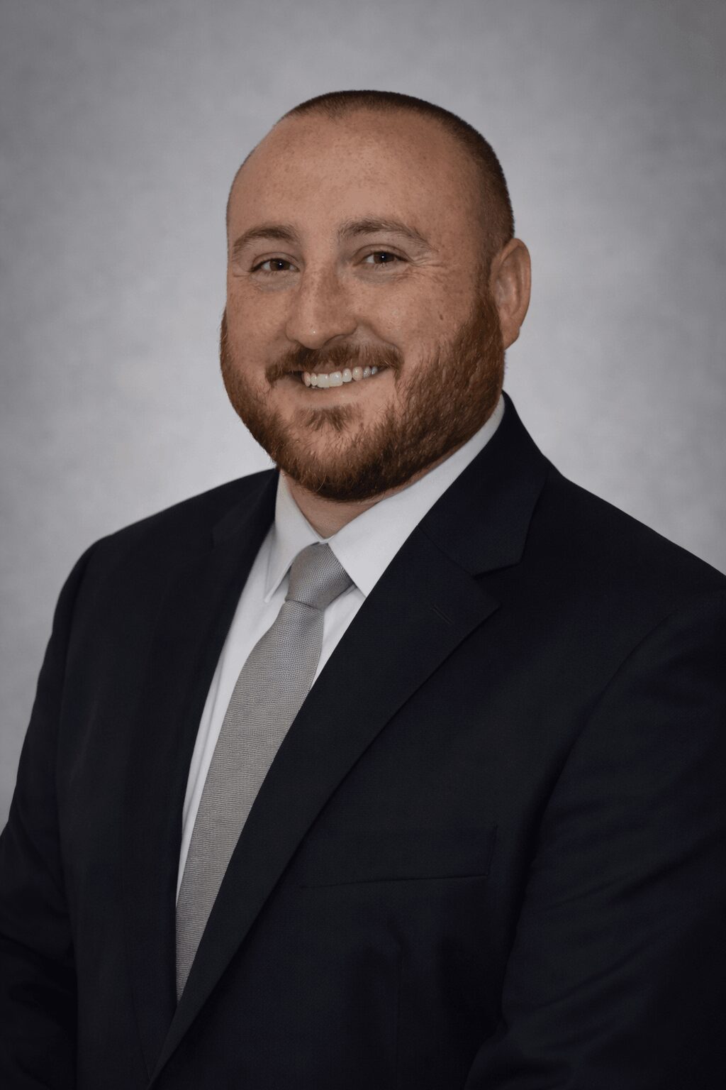
Today we’d like to introduce you to Erik Joyce.
Hi Erik, we’d love for you to start by introducing yourself.
I started my career in law enforcement, where I’ve spent years working in patrol, DUI enforcement, and as part of a regional bomb squad. That background exposed me to high-risk, fast-moving situations where technology and good information can make a critical difference.
Through that work, I was introduced to drone technology from a public safety perspective. What began as a tool for search and rescue, crash reconstruction, and tactical operations quickly became something I wanted to develop further. I saw firsthand how effective drones are for real-time awareness, documentation, and improving overall safety on scene.
From there, I expanded into building my own drone program and eventually launched Westshore Drone Services. I now use drones not only in public safety environments but also for commercial applications like inspections, mapping, and aerial data collection. My background drives how I operate—I focus on safety, precision, and delivering reliable, usable data rather than just capturing images.
Today, I continue to work in law enforcement while growing my drone business and developing tools that improve airspace awareness and operational effectiveness. My goal is to bridge the gap between public safety and commercial drone use by bringing a disciplined, mission-focused approach to every project.
Would you say it’s been a smooth road, and if not what are some of the biggest challenges you’ve faced along the way?
It definitely hasn’t been a smooth road. One of the biggest challenges has been building something on the side while working full-time in law enforcement. Time is limited, and most of the work—learning new technology, building the business, and completing jobs—happens outside of normal hours.
Another challenge has been navigating the drone industry itself. There’s a wide gap between what clients think drone work is worth and what it actually takes to do it safely and correctly. I’ve had to learn when to push back—whether that’s low-paying jobs, unrealistic timelines, or expectations that don’t account for risk and regulations. That’s been a big part of the learning process: not just how to do the work, but when a job isn’t worth doing at all.
There’s also a constant learning curve. Between new software, mapping workflows, regulations, and hardware, it’s an industry that doesn’t stay still. A lot of progress has come from trial and error, troubleshooting issues in the field, and figuring things out without much guidance.
On the business side, starting from scratch meant building credibility, finding clients, and investing in equipment before seeing consistent returns. That can be frustrating at times, especially early on.
That said, those challenges have forced me to become more disciplined, more selective with the work I take on, and more focused on doing things the right way rather than the easy way.
Thanks for sharing that. So, maybe next you can tell us a bit more about your business?
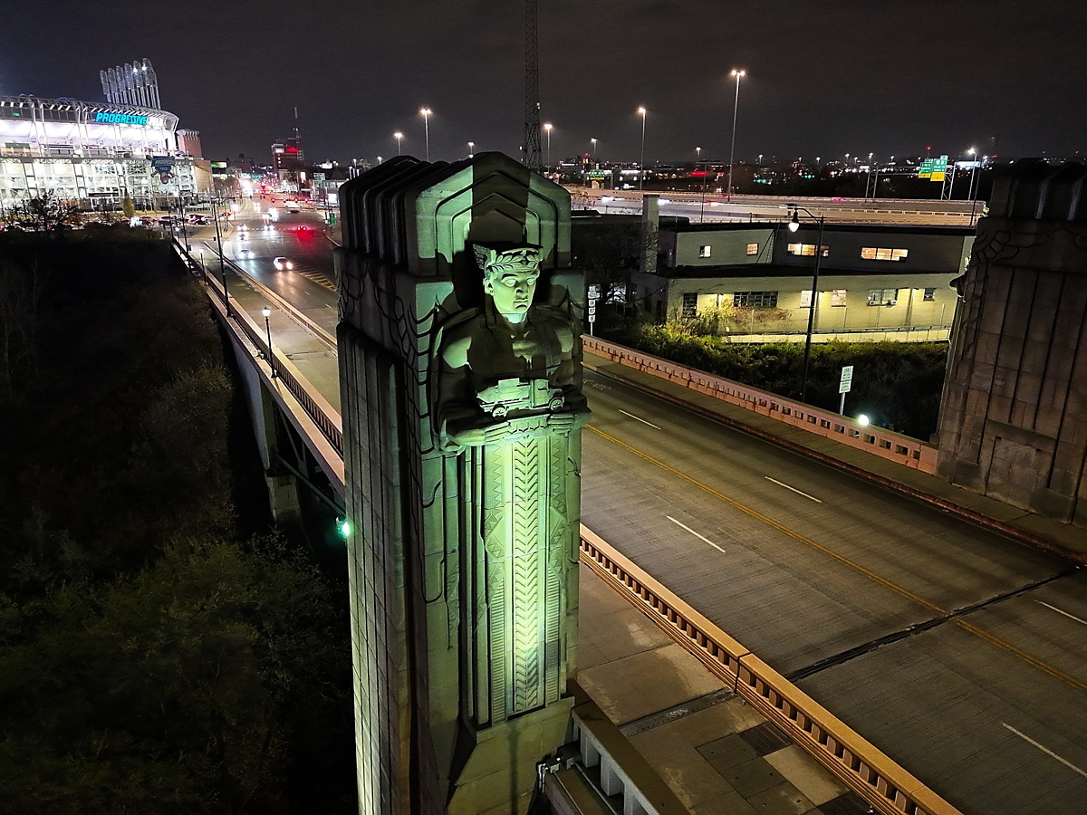
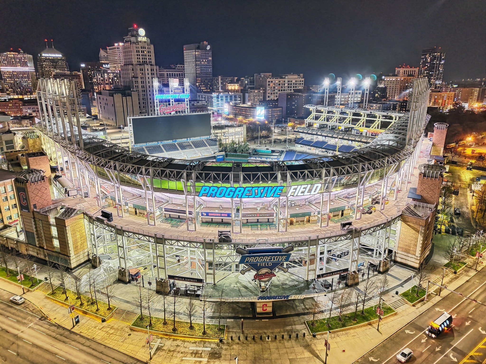
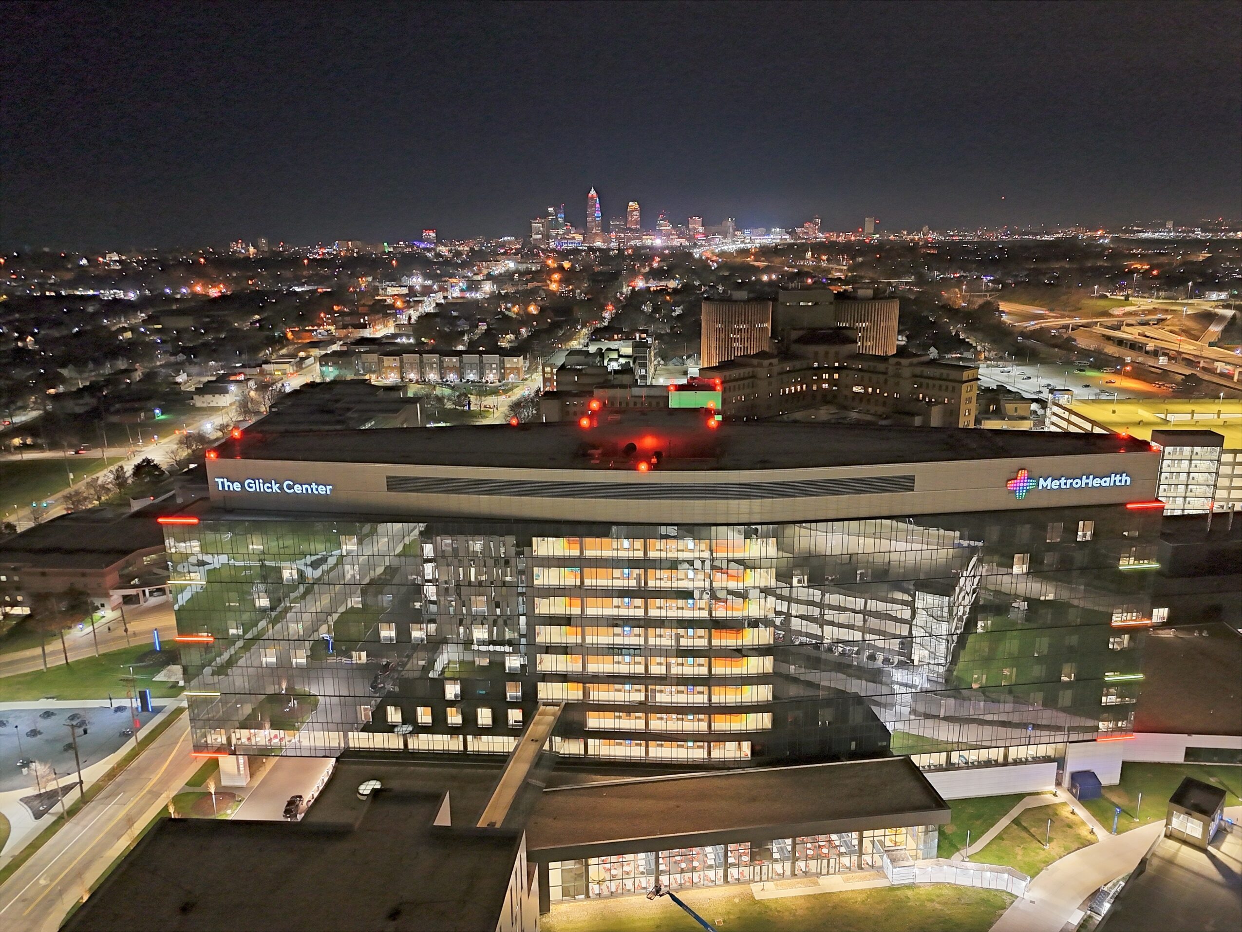
Westshore Drone Services is a Cleveland-area drone company focused on inspections, mapping, and aerial data collection. While we handle standard aerial imagery, the core of what we do is providing accurate, actionable data for clients—not just photos.
We work on projects ranging from roof and property inspections to orthomosaic mapping and more technical data collection. Our goal is to give clients something they can actually use for decision-making, whether that’s documentation, measurements, or site analysis.
What sets us apart is our operational background. We approach every job with a strong emphasis on safety, planning, and precision. That means understanding airspace, evaluating risk, and executing missions in a controlled and professional way. A lot of drone work in the market is focused on quick turnaround and low cost—our focus is doing it correctly and safely the first time.
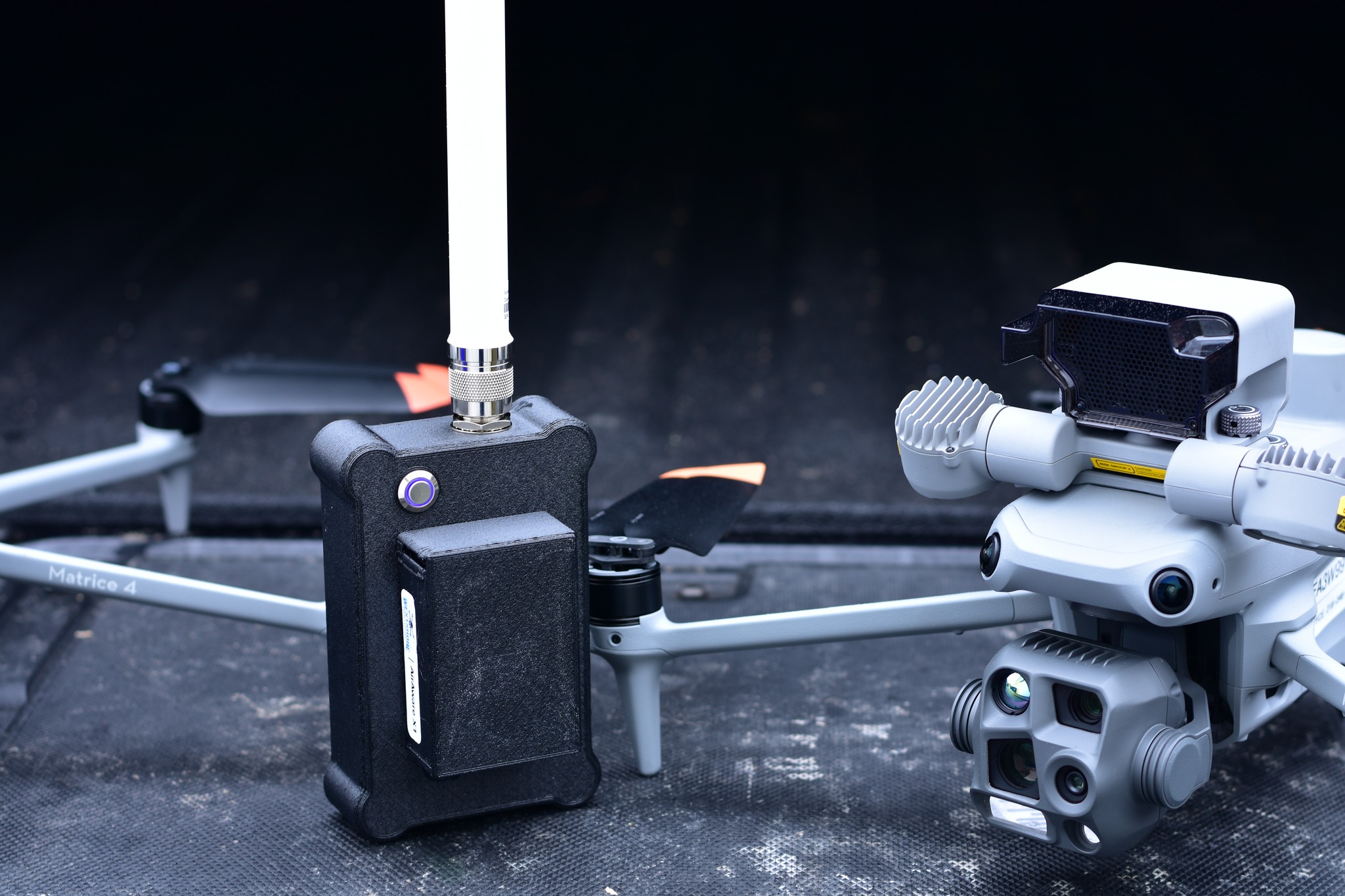
We also stay current with more advanced capabilities, including thermal imaging, automated mapping workflows, and integrating new technology as it becomes available. As part of that, I’ve also developed the AirAware X1—a portable drone detection device designed to improve airspace awareness by receiving and rebroadcasting Remote ID signals to supported mobile apps. It came directly from real-world needs in public safety and field operations, where knowing what’s in the air around you in real time can make a critical difference. It’s built to give operators, public safety teams, and others better visibility of nearby drone activity without adding complexity to their workflow.
As a brand, what I’m most focused on is building trust. Whether it’s a small inspection or a larger mapping job, clients know they’re getting reliable work, clear communication, and a professional approach from start to finish.
Is there a quality that you most attribute to your success?
The most important quality to my success is discipline. Whether it’s in law enforcement or running a business, you don’t always get ideal conditions, unlimited time, or easy decisions. Being disciplined means showing up prepared, making sound decisions under pressure, and sticking to a standard even when it would be easier not to.
In the drone space specifically, that translates to doing things the right way every time—understanding airspace, evaluating risk, and not cutting corners just to complete a job quickly. There are plenty of opportunities to rush or take shortcuts in this industry, but long-term success comes from consistency and professionalism.
That same discipline also applies to building the business itself. Balancing a full-time career while growing something on the side requires time management, persistence, and the ability to keep moving forward even when progress is slow.
At the end of the day, discipline is what keeps everything consistent—whether it’s how I operate in the field or how I run the business. It’s what ensures the work is done safely, correctly, and to a standard I’m willing to stand behind.
Pricing:
- Standard aerial inspections typically start around $150–$300 depending on property size and complexity
- Mapping and orthomosaic projects generally range from $250–$800+ based on acreage, data requirements, and processing needs
- Thermal inspections and specialized data collection are priced higher depending on scope and equipment required
- Travel, airspace complexity, and project risk can impact pricing for certain jobs
- Every project is scoped individually to ensure the client gets accurate data and a safe, properly executed operation
Contact Info:
- Website: https://www.westshoredrone.com
- Facebook: https://www.facebook.com/people/Westshore-Drone-Services/61582785239698/
- LinkedIn: https://www.linkedin.com/in/erik-joyce-55288331a/

Popular
-

The Change-Makers: stories that inspire
-

Take Flight: Lamar Thomas on Building an Inclusive Brand Rooted in Youth, Community, and Purpose
-

Cultivating Inner Clarity: Angel Inspires on Thought, Healing, and Purpose
-

Local Highlighter Series
-

Highlighting Local Gems
-

Hidden Gems: Local Businesses & Creatives You Should Know